IRON NEST Tactical Map Errors: Fix the Construction, Not the Guess
A practical diagnosis for wrong target plots, conflicting reports and stale map measurements in IRON NEST's interactive tactical-map workflow.
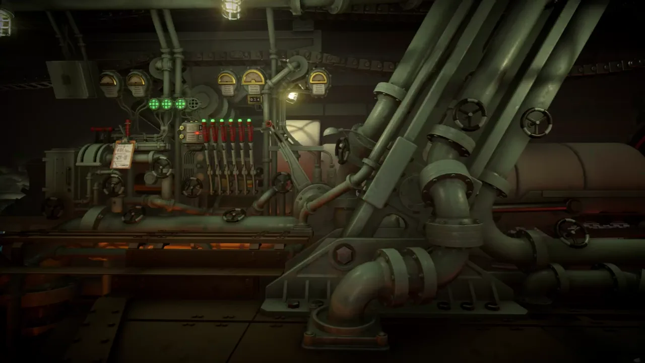
The tactical map is where IRON NEST turns ambiguous information into an actionable target. The official product page calls the map interactive, says it converts intelligence reports into a battle plan and describes it as a window onto the battlefield. That makes a plotting error expensive: every later calculation can be internally correct while still pointing at the wrong world location.
When a target does not make sense, do not redraw it by instinct. Diagnose the construction. Check who reported each number, where that source is located, what the number actually describes, whether the Iron Nest position is current and whether you have mistakenly treated an attractive map feature as evidence. A map is most reliable when each line can answer one question: “why is this here?”
Identify the error type before erasing the work
Map failures usually look alike after a missed shot, but they begin differently. You may have placed a coordinate in the wrong grid cell. You may have drawn a bearing from the gun instead of the observer. You may have centered a distance circle on the wrong person. You may have selected one of two intersections without resolving the ambiguity. You may have used an old turret marker after movement. Or you may have confused a decorative or visual cue with an explicit mission target.
Do not erase all marks immediately. Label the current target as a candidate and preserve the reported constraints. Then test one possible fault at a time. If you redraw everything at once, you cannot know which correction changed the outcome.
The official public sources establish the general report–map–plan workflow; the pre-release developer Q&A discusses triangulation and tools. Exact snapping behavior, precision and tutorial order belong to the current build. Use the live interface to decide what it accepts.
Restore report provenance
Each report has a source. High Command, a frontline caller, an observer or another named point may provide a coordinate, bearing or distance. Write the source beside every constraint before drawing it. A number without a source is not yet a map instruction.
For a coordinate, first verify the order and notation used by the current map. Do not import a universal military-grid convention. For a bearing, begin the ray at the reporting source and extend it in the reported direction. For a distance, draw the arc or radius around the source that supplied the distance. The target is the location that satisfies the constraints, not the place that happens to be a convenient range from the gun.
This is the central correction in most bad constructions. A ray from the Iron Nest can look natural because the player is standing in the turret, but a report may be describing what an observer sees elsewhere. The teleprinter system explains why source identity is operational data rather than flavor.
Check coordinates without filling gaps
When a report gives a direct coordinate, identify the current map grid and find the matching cell. Keep the original notation in your notes. If the interface uses sub-grid values, use the game’s visible subdivision rather than adding extra decimal precision from a real-world method.
If a coordinate seems to point outside the expected area, do not immediately transpose digits or assume a typo. Re-read the message, check whether the map has changed layer or orientation, and look for an explicit objective marker. A coordinate that feels implausible can be a deliberate test of attention; a corrected-by-instinct coordinate is usually impossible to audit later.
Record uncertainty openly. “Coordinate copied, map layer unclear” is better than an invented correction. A later message, objective or aerial photo may resolve it without requiring guesswork.
Draw bearings as rays, not vibes
Two bearings from known sources can form an intersection. Draw each ray from the exact stated source, label it with the report and extend it only in the direction the game convention indicates. If they meet cleanly, you have a candidate target. If they do not, return to source, bearing convention, copied digits and map orientation before averaging lines or choosing a midpoint.
Do not assume a visual landmark proves the correct intersection. IRON NEST’s setting and maps are stylized, and an evocative ridge, building or road may not carry mechanical meaning. Use explicit task information first. A visible context can help you ask a question; it cannot silently answer it.
If the map tools snap a line or present a helper, record that the current interface did so. Do not extrapolate that assistance into a universal mathematical tolerance that the public sources have not published.
Resolve distance constructions carefully
A distance from one source is a circle or arc, not a range from the turret unless the turret is explicitly the source. Combine it with a bearing, coordinate, second distance or objective clue. Two circles can create two possible intersections. A ray and circle can do the same. This is not necessarily an error; it is a request for more information.
Mark both candidate points and ask what evidence eliminates one. A third report, map constraint, mission objective, visible marker or source message may distinguish them. Never choose the point that is closest, easiest to shoot or most visually dramatic unless the game explicitly provides that reason. Convenience is not a data type.
The tactical map system provides more formal examples. This troubleshooting page focuses on how to recover when the plot begins to feel uncertain.
Separate the target from the turret origin
After the target is plotted, locate the current Iron Nest marker and measure range and bearing from the gun to that point. These are outputs of the construction, not inputs to it. Preserve them separately.
If the turret moves, the world target may be unchanged but range and bearing must be measured again. Reusing the old values is a common error because the target marker still looks familiar. See repositioning and regional operations for the campaign-context distinction and counter-battery troubleshooting for recovery practice.
The key question after movement is not “is this the same target?” but “from where is the gun measuring it now?”
Use aerial evidence as a check, not a starting point
The official page says aerial photographs reveal outcomes and that scars remain. After a shot, compare the observed consequence with the plotted target and fired solution. If the result is displaced, it may suggest a construction, measurement, shell-state, charge, elevation or traverse error.
Do not work backward from a photograph to declare a hidden map rule. A visible crater, smoke plume or damaged structure can confirm that something happened in a location; it does not publish a universal terrain, blast or visibility system. Keep the photo associated with its actual shot record, then retest the earliest uncertain handoff.
A map-rebuild card
Use this whenever the plot has become a tangle:
- Preserve the old marks as candidates or note why they were rejected.
- Copy every current report with sender, timestamp and constraint type.
- Place sources before targets.
- Plot each coordinate, ray or arc from its proper source.
- Mark all valid intersections rather than choosing one too early.
- Resolve ambiguity from an explicit third constraint or objective context.
- Confirm the current Iron Nest position.
- Measure fresh range and bearing from gun to accepted target.
- Pass only those two outputs to the calculator and traverse stages.
The process feels slower once; it prevents several downstream retries.
The dependable conclusion
IRON NEST’s map workflow is built on information provenance. Plot reports from their stated origins, resolve candidate intersections with evidence, and only then measure from the current Iron Nest position. A neat line, a familiar target icon or a dramatic piece of scenery is not a substitute for a sourced construction.
Fix the construction rather than guessing the correction. When every mark has a reason, the map becomes an auditable bridge between an uncertain report and a disciplined shot.
Frequently asked questions
Two reports do not meet at one clean target. Which should I trust?
Do not choose the convenient point. Check each report's source, direction and distance center; then seek a third constraint, objective context or a current interface cue.
Can I reuse a target marker after moving the Iron Nest?
You may retain a still-valid world target, but you must remeasure range and bearing from the current turret position.