Map Positions and Regional Context
How map position relates to campaign geography
A practical reference for separating a plotted target, an observer report and the Iron Nest's current map position from unverified claims about named regions or campaign routes.
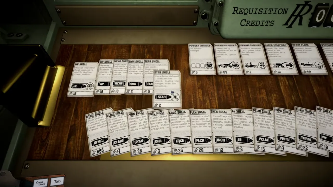
A map marker can locate a problem without naming a region.
Regions give a campaign geographic breadth; the tactical map gives an operator an immediate working position. Those are related ideas, but they are not interchangeable. A report can contain a grid reference, bearing, distance, observer name, landmark, or objective. The map can show markers, aerial information and a current battlefield. None of those elements automatically tells us the canonical name of the larger campaign region, its order in the campaign, or the terrain mechanics associated with it.
IRON NEST’s official description confirms an interactive map used to turn intelligence reports into a battle plan. It says aerial photos reveal outcomes and describes the map as a window onto the battlefield in which markers can move while scars remain. The launch trailer visibly shows a map-like interface with a grid and symbols. That evidence is strong enough to discuss map work and regional context. It is not a public legend for a fifteen-name campaign atlas.
Three kinds of position
The cleanest way to avoid bad regional claims is to keep three positions separate.
The report origin is where a piece of intelligence is said to come from: an observer, High Command, a frontline unit, or another stated source. A bearing and distance are meaningful only from that origin. If a message says a target lies east of an observer, the observer is the center of that statement, not the turret.
The target position is the plotted point that satisfies the available evidence. It may be an explicit coordinate, an intersection of bearings, a distance construction, or a point inferred from several reports. Its status can be confirmed, provisional, or disputed. A target position is operationally important, but it is generally a local fire-control location rather than a campaign-region name.
The Iron Nest position is the current origin of the gun’s range and bearing. Once the target is plotted, measure from this position to derive the values used for traverse and ballistics. If the turret relocates, the target can remain fixed while the gun’s required bearing and range change.
Keeping these positions distinct makes the tactical map less mysterious and prevents a common research error: treating any label on a map as though it were the title of the surrounding campaign region.
A grid is not a gazetteer
A grid divides a map for reference. It helps locate a target precisely enough for a firing solution. It may contain letters, numbers, sub-grid values, lines, icons, or handwritten annotations. Its labels usually describe cells and tools, not political boundaries or canonical regional titles.
The official trailer imagery is useful visual evidence for a working map, but it does not expose a readable, complete region legend. Even if a player can identify a coastline, ridge, settlement, rail line, or city-like block in a frame, that visual resemblance alone cannot establish an official location. IRON NEST is alternate history, and stylized maps simplify real geography for play.
When a current build presents a specific proper noun, record it exactly rather than normalizing it into a real-world name. Note whether it appears in a mission title, map overlay, briefing header, menu, newspaper, achievement, or spoken line. Those contexts carry different weight. A mission’s destination label is stronger evidence of region identity than a decorative placard; a newspaper dateline may be evidence of fiction but not necessarily of selectable campaign geography.
Moving from reports to a regional record
An operator can create useful regional notes without overreaching. Begin with the mission’s actual displayed title and any explicit location field. Preserve the exact spelling. Then capture the version and the date of observation. Record which map layer or screen showed it, and keep the screenshot or a reproducible navigation path.
Next, keep operational information in its own columns: target coordinate, observer source, current Iron Nest position, objective language, fired solution, and observed outcome. A result such as “objective completed after AP fire” is evidence about that mission state; it does not by itself prove that AP always works that way across an entire region.
Finally, make uncertainty visible. If the map shows a mountain-like silhouette but no terrain field, describe it as a visual presentation. If a briefing calls somewhere a “front,” do not silently upgrade it to a canonical region count entry. This method accumulates a useful field record that can later support a named-region page without publishing assumptions first.
How the map connects to fire control
The regional campaign context becomes tangible at the map table. Teleprinter reports deliver constraints; the map places them; the calculator converts measured range into a charge and elevation relationship; traverse aligns the gun; aerial photographs and persistent scars help inspect results. Every stage is local and current.
The tactical map system explains the geometry in depth. Its central rule is that reports are source-relative. Plot a bearing ray from the reporting observer, not from the gun. Draw a distance arc around the stated origin. Resolve a candidate target before measuring turret-to-target range and bearing. This sequence is equally important when the campaign travels across multiple areas, because a change of gun position invalidates old gun-relative measurements.
The teleprinter reference covers the provenance of orders and frontline messages. The ballistic calculator reference covers the next handoff once range is established. Neither system needs a fully published region list to work; their truth comes from the current mission’s sources and positions.
Regional context is not a ballistic modifier
Players naturally ask whether coast, mountains, cities, industrial areas, or plains change range, shell effects, target movement, visibility, wind, or damage. Those questions are reasonable. The reviewed official public sources do not publish a region-by-region modifier table. A map’s visual character also does not prove a hidden calculation.
Use the current interface and repeatable observation before recording any effect. If a mission explicitly shows elevation, wind, visibility, terrain cover, target behavior, or a special environmental rule, document the display, version and repeatability. If it does not, do not compensate by importing generic artillery doctrine. Real geography is rich, but the game’s fictional mechanical model determines what actually matters at the controls.
This distinction protects useful advice. “Re-measure after moving the turret” is sound because range and bearing are relative to the current gun position. “All mountain regions require higher arcs” is not a verified IRON NEST rule merely because it sounds physically reasonable.
A practical location-note template
Use this compact record during a new mission:
- Copy the displayed mission or location title exactly, including punctuation.
- Record build, date, mode and whether the task is story or procedural if the game states it.
- Preserve the Iron Nest’s current marker or location before plotting a solution.
- Label each report with its source, time and constraints.
- Record the final target point separately from the larger location label.
- Note objective text and any visible environment only as observation, not rule.
- Save the source or screenshot that supports every proper name.
- After relocation, create a fresh gun-origin line rather than reusing range and bearing.
This is enough to make future research useful to another player. It also lets a reader audit which statements came from the game and which are analytical interpretation.
The dependable conclusion
IRON NEST confirms a map-centered intelligence and planning workflow inside a campaign advertised as spanning 15 regions. A grid cell, target marker, observer report and turret position are operational facts; they are not automatic aliases for named campaign regions. The public material reviewed here does not present a complete route map or region legend.
Treat map positions as precise local evidence. Preserve exact labels when they appear, keep report and gun origins separate, and reserve regional claims for sources that actually make them. That discipline gives the campaign geography room to become more detailed as evidence arrives without forcing a speculative atlas onto the game first.